If it happens, it would not be the first time for a cyclone on the west coast around the time of monsoon onset.
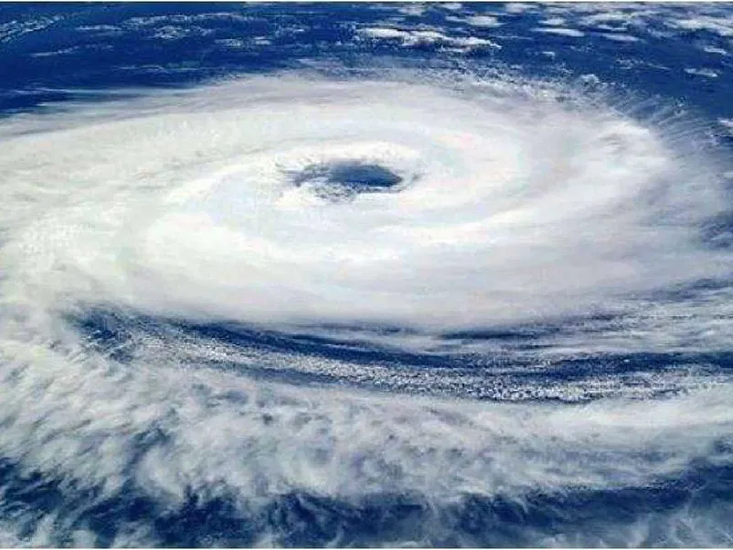
Photo for representational purpose only (Credit: Twitter)
New Delhi: As India inches towards the much-awaited southwest monsoon onset over Kerala, some foreign weather models have shown a possibility of a cyclone formation over the Arabian Sea around June 6, but the India Meteorological Department (IMD) on Tuesday said, its models do not show any such possibility as yet and it is on the watch.
The IMD has predicted that the onset of the southwest monsoon – termed as India’s real finance minister – on June 4 against the normal date of June 1 in Kerala.
The European Centre for Medium Range Weather Forecast (ECMRWF) and the Global Forecast System (GFS), a weather forecast model of the National Centers for Environmental Information of National Oceanic and Atmospheric Administration (NOAA) have clearly indicated a powerful cyclone around June 6-9 over the Arabian Sea.
The same possibility has been forecast by the official twitter handle of Pakistan’s first private meteorological network. In fact, multiple private weather watchers have posted about the possibility of a cyclone around June 6. But none of them have predicted any path as there is still confusion about the what track would unfold – whether it heads towards India’s west coast, Pakistan or Oman for that matter.
On Tuesday, IMD officials said, the agency is aware about the system but none of its models show it as a cyclonic formation as on date. On May 26, when the IMD issued the second stage southwest monsoon forecast, then too, it had said there is no possibility of any cyclone formation in Arabian Sea.
Around this time of the year, i.e. ahead of the monsoon onset over Kerala, a vortex is formed over south east Arabian Sea. Its movement will decide the kind of impact it will have on the monsoon onset.
“The system is associated with onset. Generally the systems are formed over that area, the Arabian Sea area and it moves northwards and takes monsoon towards north. If it intensifies and moves towards westwards, then there is a possibility that it will disturb (the monsoon onset). As of now, the different models are showing different (outputs) butour IMD model is not showing it. So we have to watch and monitor it,” D S Pai, IMD’s senior scientist, told News9 Plus,
“Only when the vortex reaches Kerala, we will know if it is intensifying or not. If there is a possibility, as per our model. We will give a warning in one or two days,” Pai said.
A study ‘Is an Onset Vortex Important for Monsoon Onset over Kerala?’ in journal Theoretical and Applied Climatology’s 2012 issue had said: “It is found that the monsoon onset vortex which forms over the south eastern Arabian Sea region upsets the delicate balance between convection, build up of moisture, and strengthening and deepening of the westerlies over the south eastern Arabian Sea that is needed for the setting up of the MOK. Thus, the formation over the south eastern Arabian Sea of a monsoon onset vortex is not necessarily conducive for Monsoon Onset over Kerala (MOK).”
Earlier studies have established that the frequency of cyclones over Arabian Sea is increasing while that over Bay of Bengal is decreasing. “In last 40 years, there were 10 years when cyclones were formed over the Arabian Sea near the onset period of monsoon,” a 2021 study by ST Radar Centre of Cochin University in Kerala had found out.
K S Hosalikar, another senior scientist with IMD, told News9 Plus: “South-westerly cross equatorial flow – much necessary for monsoon onset – can be seen in (our) charts. So we are maintaining that we are expecting SW Monsoon onset on June 4. However, we are also keeping a watch on this monsoon vortex and how it evolves.”
(This story first appeared on news9live.com on May 30, 2023 and can be read here.)